Commonwealth Marine Reserves Review
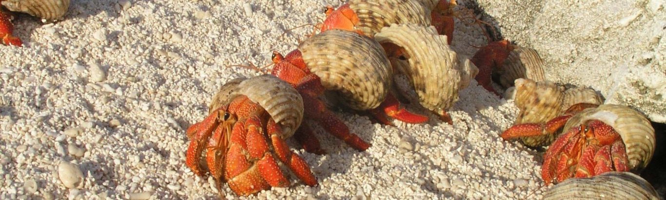
The Australian Government commissioned the independent review of the Commonwealth Marine Reserves that were established in November 2012.
The Review considered what management arrangements would best protect our marine environment and accommodate the many activities that Australians love to enjoy in our oceans and aimed to restore confidence in Commonwealth marine reserves, by ensuring that management arrangements for the reserves reflect genuine and thorough consultation with stakeholders and are informed by the best available science.
In 2016, reports were provided to the Australian Government by Professor Colin Buxton and Mr Peter Cochrane, who chaired the Bioregional Advisory Panel, and Associate Professor Bob Beeton, who chaired the Expert Scientific Panel.
Copies of these reports can be found below.
Bioregional Advisory Panel Report
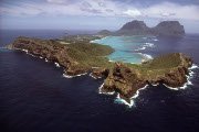
As part of the Commonwealth Marine Reserves Review, five Bioregional Advisory Panels were appointed to consult across sectors and to provide advice to Government. These panels were appointed for the South-west, North-west, North, Temperate East and Coral Sea marine regions.
Individual maps contained in the Bioregional Advisory Panel Report are available in high resolution below.
-
Chapter 3 – Advice from the Expert Scientific Panel (PDF – 226.71 KB)
-
Chapter 4 – Recommended Commonwealth marine reserves zoning (PDF – 127.94 KB)
-
Chapter 4.1 – North Commonwealth Marine Reserves Network (PDF – 1.22 MB)
-
Chapter 4.2 – North-West Commonwealth Marine Reserves Network (PDF – 958.03 KB)
-
Chapter 4.3 – South-West Commonwealth Marine Reserves Network (PDF – 1.72 MB)
-
Chapter 4.4 – Temperate East Commonwealth Marine Reserves Network (PDF – 1.38 MB)
-
Chapter 4.5 – Coral Sea Commonwealth Marine Reserve (PDF – 1.52 MB)
-
Chapter 4.6 – Recommendations to support consistency of zoning (PDF – 112.53 KB)
-
Chapter 4.7 – Commonwealth marine reserves with no recommended changes (PDF – 185.01 KB)
-
Chapter 4.8 – Estate-wide performance of the options (PDF – 317.88 KB)
-
Chapter 5 – Inclusion of social and economic considerations into decision-making (PDF – 198.99 KB)
-
Chapter 6 – Ongoing engagement with regional stakeholders (PDF – 157.27 KB)
-
Chapter 7 – Comments and advice on Commonwealth marine reserve management plans (PDF – 183.15 KB)
-
Chapter 8 – Other recommendations and observations (PDF – 162.81 KB)
Expert Scientific Panel Report
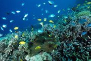
As part of the Commonwealth Marine Reserves Review, an independent Expert Scientific Panel was appointed to provide advice to government.
The Expert Scientific Panel included recognised scientists selected for their capacity to provide independent scientific advice on the science supporting the Commonwealth Marine Reserves including proposed zoning and allowed uses.
Maps and data
The maps and data provided should be considered in conjunction with the details contained in the Commonwealth Marine Reserves Review Report of the Bioregional Advisory Panel.
Shapefiles
Maps
North
North-west
South-west
Temperate East
Coral Sea
Spatial data sources
The following spatial data was used in preparing the maps above.
-
Beaman, R.J., 2010. Project 3DGBR: A high-resolution depth model for the Great Barrier Reef and Coral Sea. Marine and Tropical Sciences Research Facility (MTSRF) Project 2.5i.1a Final Report, MTSRF, Cairns, Australia, pp. 13 plus Appendix 1.
-
CSIRO Marine and Atmospheric Research (2009): Predicted seabed assemblage patterns of marine fauna for the East, North, North-west and South-west Marine Regions
-
Department of the Environment (2006): Integrated Marine and Coastal Regionalisation of Australia (IMCRA) v4.0
-
Department of the Environment (2011): Bathomes in Australian waters
-
Department of the Environment (2014): Australia’s Network of Commonwealth Marine Reserves
-
Department of the Environment (2014): Collaborative Australian Protected Areas Database
-
Department of the Environment (2014): Marine Key Ecological Features
-
Department of the Environment (2015): World Heritage Areas: Australia
-
ESRI Australia Pty Ltd (1992): ARCWORLD World Dataset 1:3 million
-
Geoscience Australia (2003): GEODATA TOPO 2.5M
-
Geoscience Australia (2004): GEODATA TOPO 100k—Coastline
-
Geoscience Australia (2004): Geomorphic Features of Australia’s Exclusive Economic Zone
-
Geoscience Australia (2005): Australian Bathymetry and Topography
-
Geoscience Australia (2006): GEODATA TOPO 250k
-
Geoscience Australia (2014): Australian Maritime Boundaries (AMB) v3.0
ABARES commercial fishing displacement analysis
This ABARES report provides an assessment of the Panel’s final recommended internal zoning and permitted activities (‘the Panel-recommended network’), with comparisons made to the network proclaimed in November 2012 (‘the proclaimed network’).
Downloads
Learn about your marine parks


Stay in touch
Subscribe to receive important updates about your marine parks. Enter your email address and click "join now".